Understanding How to Use Maps and Navigation Apps Effectively in Bali can make the difference between a smooth holiday and a stressful one. Bali’s roads, traffic patterns, and rural routes can be confusing for first-time visitors, even with modern apps like Google Maps. As a Bali travel expert, I’ll show you how to navigate smarter, avoid common mistakes, and combine digital navigation with local knowledge—especially when traveling on Bali daily tours or using a private driver Bali travelers rely on.
Why Navigation Apps Are Useful—but Limited—in Bali
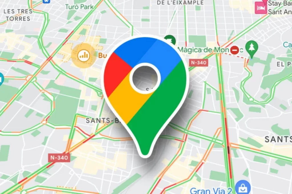
Maps and navigation apps are essential tools in Bali. Travelers use them to estimate travel time, find attractions, and locate restaurants or beaches. However, one key lesson in How to Use Maps and Navigation Apps Effectively in Bali is understanding their limitations.
Apps don’t always account for:
-
Religious ceremonies that close roads
-
Narrow village lanes unsuitable for cars
-
Temporary traffic diversions
-
Local shortcuts known only to residents
This is why many travelers pair apps with a Bali car hire with driver, combining technology with real local experience.
Choosing the Right Navigation App
Most travelers rely on Google Maps, which is generally accurate in Bali’s main tourist areas. Waze can be useful for traffic updates but may suggest routes through very narrow roads. Offline map downloads are essential when visiting rural areas or planning long Bali day trip routes.
A smart part of How to Use Maps and Navigation Apps Effectively in Bali is downloading offline maps before you travel, especially if you plan to explore waterfalls, temples, or mountain villages.
Understanding Travel Time vs. Distance
In Bali, distance is misleading. A 20-kilometer drive can take 90 minutes or more. Navigation apps show estimates, but they don’t always reflect real conditions.
For example:
-
Seminyak to Ubud may look short but can take hours at peak times
-
Ubud to North Bali involves winding mountain roads
-
East Bali routes often require slow coastal driving
This is why experienced travelers prefer a Bali private tour service that plans routes realistically rather than relying solely on app estimates.
Using Navigation Apps with a Private Driver
One of the best applications of How to Use Maps and Navigation Apps Effectively in Bali is when you’re traveling with a driver. Instead of navigating yourself, you can:
-
Use apps to research attractions
-
Save locations and share them with your driver
-
Track approximate arrival times
-
Discover nearby stops during a Bali day trip
A private driver Bali visitors trust will often suggest better routes or alternative stops that apps don’t highlight.
Avoiding Common Navigation Mistakes
Many travelers experience frustration due to simple errors:
-
Following apps into restricted or private roads
-
Trusting “shortcuts” through villages
-
Not checking road width suitability for cars
-
Ignoring local advice
A key principle in How to Use Maps and Navigation Apps Effectively in Bali is knowing when not to follow the app blindly. Local knowledge always wins in Bali.
Planning Multi-Stop Bali Daily Tours
Navigation apps are excellent for planning multi-stop itineraries. You can pin temples, cafés, beaches, and viewpoints in advance. However, don’t overload your day.
A realistic Bali day trip usually includes 3–4 main stops. Apps may suggest more, but traffic and stop time matter. This is where Bali tour package planning with a driver saves time and energy.
Internet Connection and Offline Navigation
Reliable internet improves navigation accuracy, but coverage may drop in remote areas. Downloading offline maps and saving hotel or attraction locations is essential.
Experienced travelers who understand How to Use Maps and Navigation Apps Effectively in Bali prepare offline access before heading north, east, or into mountainous regions.
Why Local Drivers Outperform Navigation Apps
No app can replace local experience. A driver understands:
-
Which routes flood during rain
-
When ceremonies affect traffic
-
Where to stop safely for photos or food
-
How to adjust routes in real time
This is why many visitors choose to hire driver Bali services for long routes or first-time visits. Navigation apps become support tools, not decision-makers.
Budget and Time Efficiency
Using apps incorrectly can cost you time and money—extra fuel, missed attractions, or stress. Combining digital navigation with a Bali car hire with driver often proves more efficient, especially when visiting multiple regions.
Understanding How to Use Maps and Navigation Apps Effectively in Bali helps you plan better, travel smarter, and enjoy more experiences in less time.
Why Smart Navigation Improves Your Bali Experience
When you navigate wisely, Bali feels easier and more enjoyable. You spend less time stuck in traffic and more time enjoying beaches, temples, and cultural experiences. Smart navigation also supports flexible itineraries—one of the biggest advantages of traveling with a private driver.
Final Thoughts
Mastering How to Use Maps and Navigation Apps Effectively in Bali means combining technology with local expertise. Apps are powerful tools, but they work best when supported by realistic planning and local knowledge.
If you want a stress-free journey, consider booking a Bali private tour or car charter with a local driver. It’s the most reliable way to navigate Bali comfortably, discover hidden gems, and enjoy every moment of your trip—without worrying about wrong turns or wasted time.